Visiting Baston Fen Nature Reserve
At just 35 hectares this reserve is the largest remaining area of wet fenland in Lincolnshire and is designated a Site of Special Scientific Interest (SSSI).
Location and access
Owned and managed by the Lincolnshire Wildlife Trust, this wetland reserve is also the last stronghold for many endangered fenland plants, birds, molluscs and invertebrates.
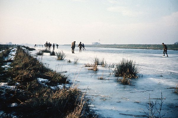
In winter large numbers of wildfowl are attracted to the flooded washlands, including wigeon, teal and mallard, while in summer dragonflies hawk over black peaty pools which hold rare aquatic plants such as frogbit, fen pondweed and greater water-parsnip.
Location & Access
The reserve is situated on the Baston to Tongue End and Spalding road, and is adjacent to Windmill Farm. Access to the parking area is across the Counter Drain and to the left of the concrete bridge. Owing to the possible presence of cattle and the uneven nature of the ground, access is not suitable for wheelchair users. Dogs are not permitted on the reserve.
Baston Fen Reserve Nature Trail

(Map courtesy of the Lincolnshire Wildlife Trust)
This short nature trail around the 'Low wash' at Baston has been devised to show visitors the various habitats, and associated wildlife on the washlands, and covers a distance of about one mile. Please note that cattle may be present on all or part of the route.
Baston Fen is part of the 17th century CounterDrain washlands, an area used to hold floodwater during winter months when high levels in the River Glen would be dispersed onto the washes to prevent bank collapse and flooding of farmland. Traditionally, during the summer months washlands were grazed, mainly by cattle, or used for haymaking, and this practice is continued at Baston Fen.
- Starting at the car park by Ward's Bridge, proceed along the raised track towards the River Glen bank, or if not flooded walk through the adjacent woodland. This is an area where osier, crack willow and alder have grown up on peat to from wet woodland (fen carr). A diverse nesting and feeding structure for birds is created where trees have fallen, and timber left on the ground adds to the diversity by providing habitats for invertebrates and micro-organisms. Breeding birds include robin, chaffinch, blackcap, tits, blackbird and wren, whilst in winter fieldfares may be present. The ground flora is dominated by nettles, but also contains yellow iris, comfrey, gipsywort, large-flowered hemp-nettle and water chickweed. To the right of the farm track is open farmland only one metre above sea level.
- Before reaching the river bank turn left in to Mill Close. Here a small hamlet, called West Cote, consisting of a windmill and eight cottages survived until 1920, when it became deserted. The sheltered glade attracts butterflies, including speckled wood and dark-grey bush-crickets.
- Passing the reserve shed go through the hand-gate next to the river bank. At this point the culvert under the bank carries water from the river onto the washes during the winter months. From the top of the bank the visitor can obtain good views of the wooded Kesteven hills and the intervening peatlands in Bourne and Thurlby Fens.
- The nature trail follows the mown path at the base of the bank. The borrowpits (linear ponds) adjacent to the bank were excavated in 1950 to provide material for bank improvements. In 1985 it was necessary to import a more stable soil than the local peaty clay in order to carry out bank reconstruction. In this area willow trees have been pollarded in the traditional fenland manner, by cutting top growth at a hieght of two metres above the ground, to create visual and biological interest.
- Plants next to the borrowpits include frogbit, water violets, greater spearwort, meadow rue and purple loosestrife. Note that the common reed is not common here. The warm south-facing river bank provides a sheltered location for many butterflies.
- Turn left onto a low bank passing between osier and sallow bushes, the trail now crosses the old Adventurers' Dyke, excavated when the washes were laid out in 1640. Periodic 'slubbing' (dredging) is necessary to remove decayed vegetation and silt in order to maintain the biological interest.
- To the right of the bank there is a large shallow pool or mere which has become overgrown with reedmace and club-rush. This area attracts coot, moorhen and sedge warbler. The fields (washes) either side of this bank are flooded in winter and attract up to 1000 wildfowl including mallard, teal, wigeon and the occasional shovler, pintail and goosander.
- At the end of the low bank turn left onto the track alongside the Counter Drain which carries water from the gravel-bearing soils in West Deeping, Langtoft and Baston parishes. Roach, chub, and pike may be seen, whilst overhead common terns hunt along the drain, occasionally plunging into the clear water to catch small fish. Many of the hawker dragonflies and the more delicate damselflies can be seen along the drain, which is also frequented by tufted duck and mute swans.
- On the wash yellow iris is widespread. Closer inspection of the green sward will reveal water forgetmenot, creeping jenny, water mint, water speedwell and a variety of sedges.
- Miles' Mere, another shallow mere contains large beds of reedmace which attract roosting swallows and martins in autumn. It is also a favourite habitat for coot, moorhen, water rail, nesting swans and reed buntings. Stonechats are regular winter visitors to the reedmace beds. the Counter Drain at this point contains extensive patches of yellow water-lily and arrowhead with lady's smock along the edges.
- Pass through the hand-gate to return to the car park.
We hope you have enjoyed your visit to the Baston Fen Nature Reserve, and have gained an insight into the complexity of habitats present in this Linconshire washland. We are grateful to the Welland and Deepings Internal Drainage Board for its sympathetic management of the Counter Drain and its help in maintaining water levels throughout the reserve.